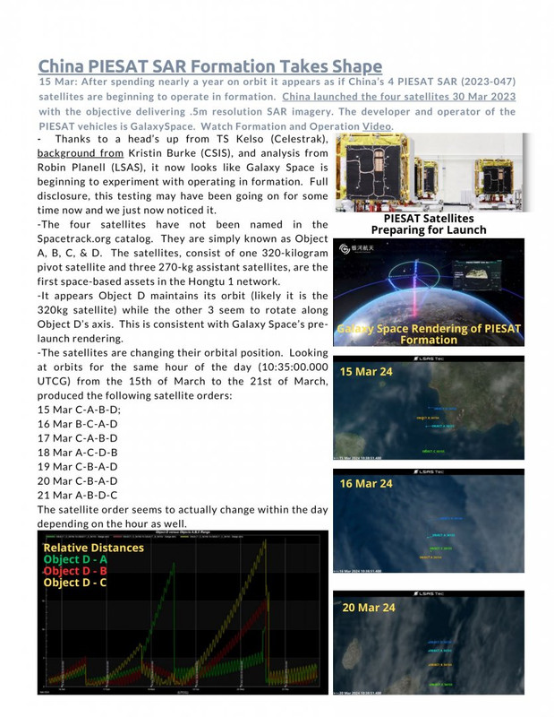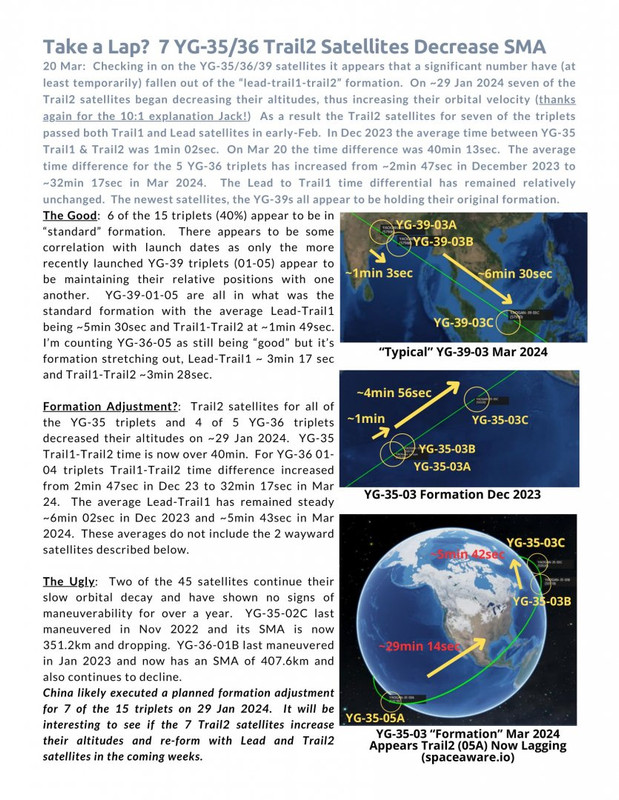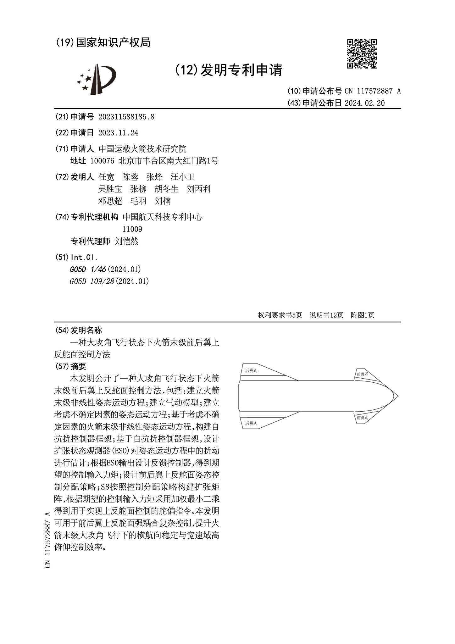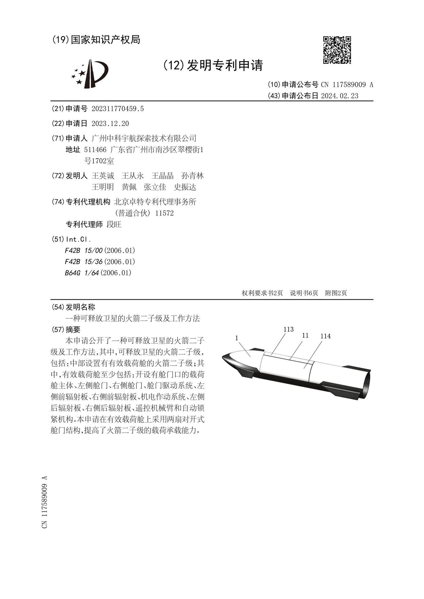


Um panorama da lua

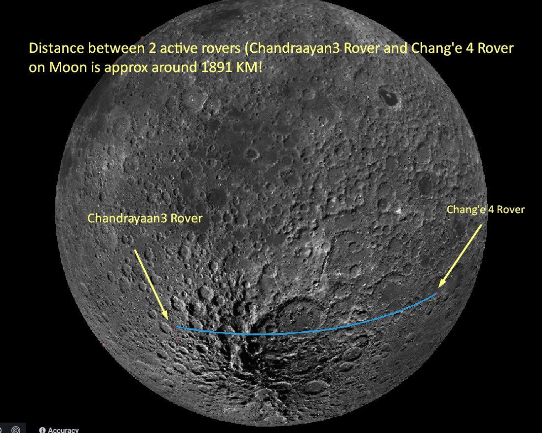
A distância entre 2 rovers ativos (Chandrayaan3 Rover e Chang'e 4 Rover) na Lua é de aproximadamente 1891 km (± 5 km)
https://www.airuniversity.af.edu/CASI/D ... e-program/
https://www.airuniversity.af.edu/Portal ... rogram.pdfTrends That Impact Perceptions of the Chinese Space Program
The People’s Liberation Army’s (PLA’s) intention to allow civilian astronauts and non-state-owned enterprise (SOE) companies to participate in the Chinese Space Station (CSS) are two trends that will probably change the global image of the Chinese space program, but which risk being overlooked with hyped attention on the still distant crewed lunar program. While the CSS is not the linchpin for the People’s Republic of China’s (PRC’s) recently confirmed timeline to land two PRC astronauts on the Moon by 2030 for a short period of tests and experiments; the CSS is however necessary for the PRC to achieve its goal for a sustainable crewed lunar program. Importantly, watching the development of the CSS will reveal clues about possible international and commercial participation. Support and buy-in from such groups are key to a sustainable space program and demonstrating the PRC’s leadership in space.
Uma fotografia da área ao redor de Albas Mons tirada pelo orbitador Tianwen Mars.

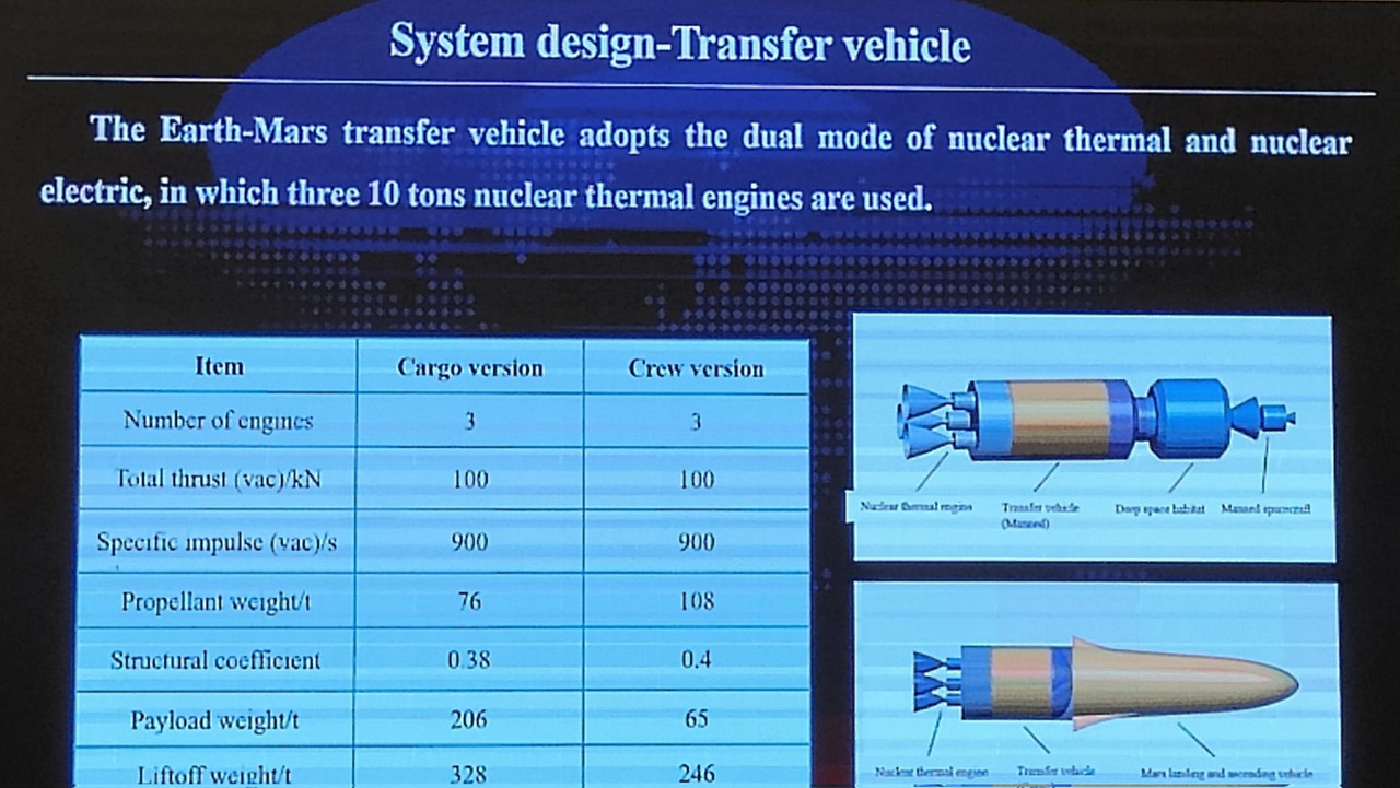
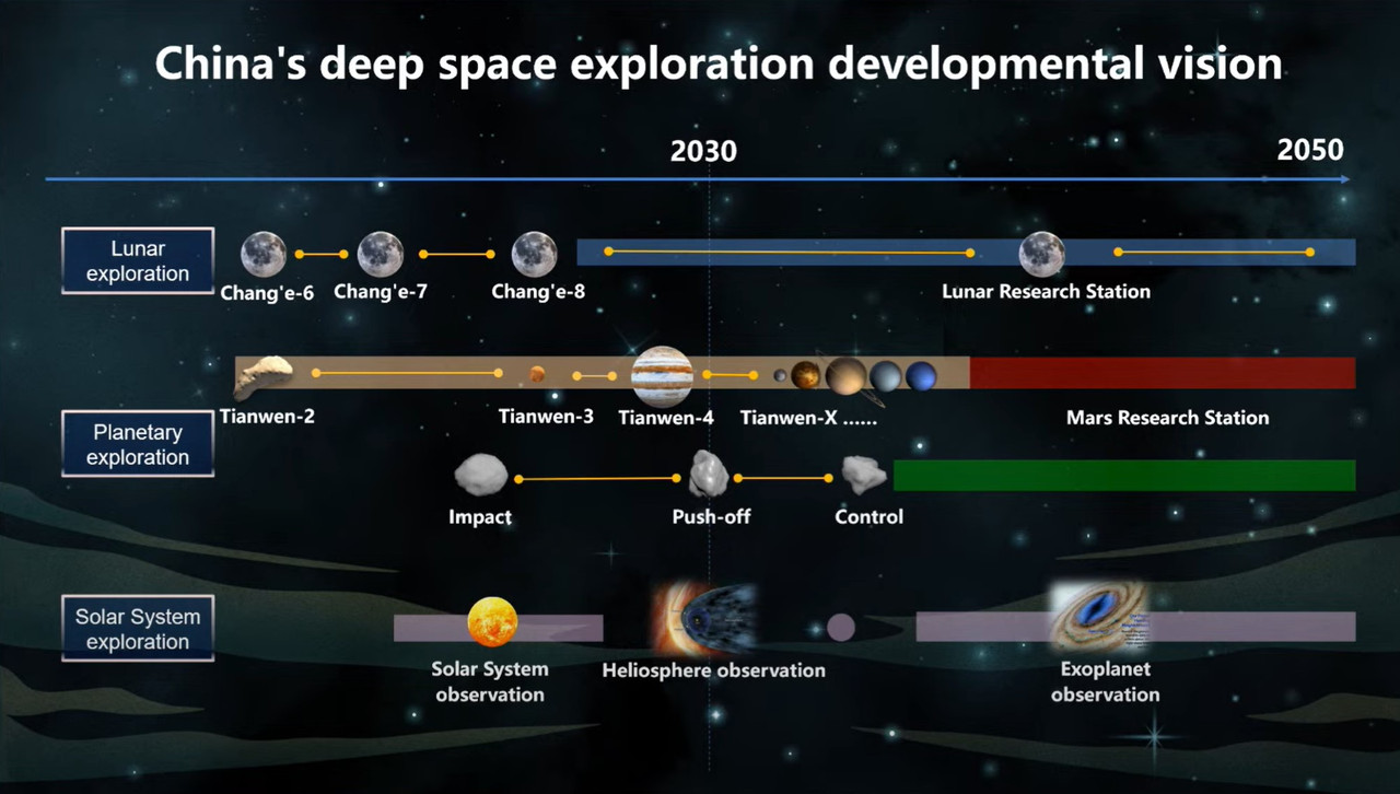
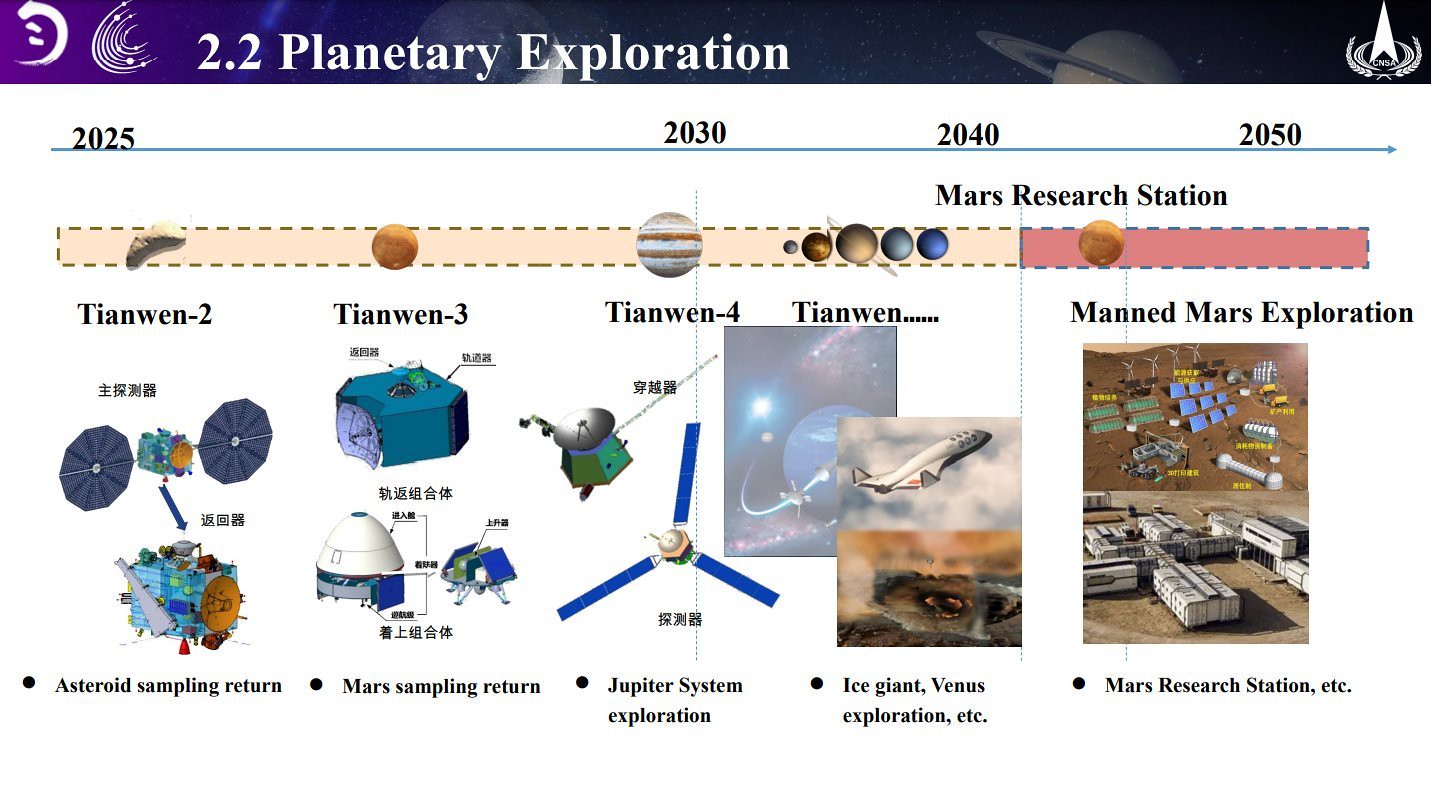
Plano chinês de recursos espaciais a longo prazo abrangendo todo o Sistema Solar, agora oficialmente divulgado ao público. Wang Wei apresentou isso em uma reunião da Sociedade Chinesa de Astronáutica em Pequim, em 19 de agosto de 2023, em um fórum sobre 'Explorando o Universo e Desenvolvendo Recursos Espaciais'
Wang Wei, afiliado ao CASC & CAS, está propondo um roteiro de quatro etapas para a criação de um sistema de utilização de recursos espaciais que abrange todo o Sistema Solar. Clarividente, ambicioso, para dizer o mínimo .
A iniciativa se chama "天工开物" Tiangong Kaiwu, cujo nome vem do trabalho do cientista da Dinastia Ming, Song Yingxing, "A Exploração das Obras da Natureza "
Água como combustível: propõe o desenvolvimento de recursos minerais estratégicos como objetivo, com base na utilização de recursos espaciais de água-gelo, usando pontos Lagrangianos 1+2 b/w corpos celestes como nós e construir um sistema de desenvolvimento de recursos espaciais gradualmente construído no Solar Sistema .
O plano é construir gradualmente instalações de desenvolvimento de recursos de água-gelo na Lua, NEAs, Marte, asteróides do cinturão principal e luas de satélites de Júpiter, e formar gradualmente um sistema usando Terra-Lua L1, Sol-Terra L1/L2, Sol-Terra L1/L2, Ceres e Sol-Júpiter L1 .
Isso requer infraestrutura de recursos Inc. estações de abastecimento, rotas de transporte, estações de mineração e processamento, e foco no acesso ao espaço, retorno de baixo custo à Terra, tecnologia chave, etc., para desenvolver capacidades de desenvolvimento e utilização de recursos espaciais comerciais e em grande escala .
Esta noção tem metas de estágio de “exploração, mineração e utilização” com postos de estágio em 2035, 2050, 2075 e 2100. Isso “promoverá o desenvolvimento e a utilização de recursos espaciais em meu país para alcançar um desenvolvimento de estilo inovador”, diz Wang.
Wang: "Assim como os milagres criados na Era da Grande Navegação, a 'grande era espacial', o desenvolvimento dos recursos espaciais criará o próximo milagre na história do desenvolvimento humano e trará nova prosperidade à civilização humana. "
Há muito a considerar em relação a isto, como o nível de apoio que pode atingir, os orçamentos e a economia da China, a viabilidade tecnológica e económica, e como isto funciona dentro do Tratado do Espaço Exterior, e muitas interpretações diferentes de fora.
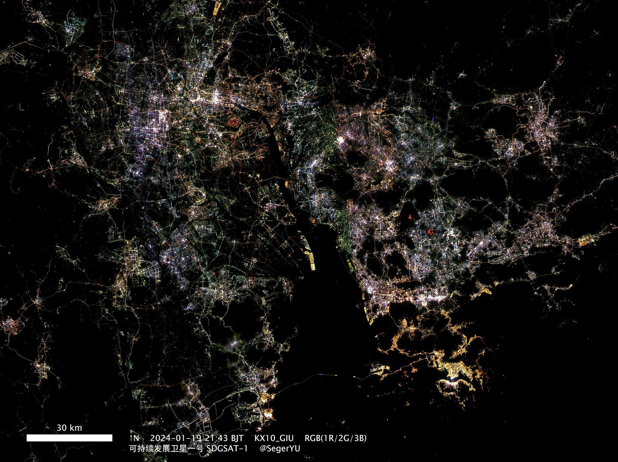
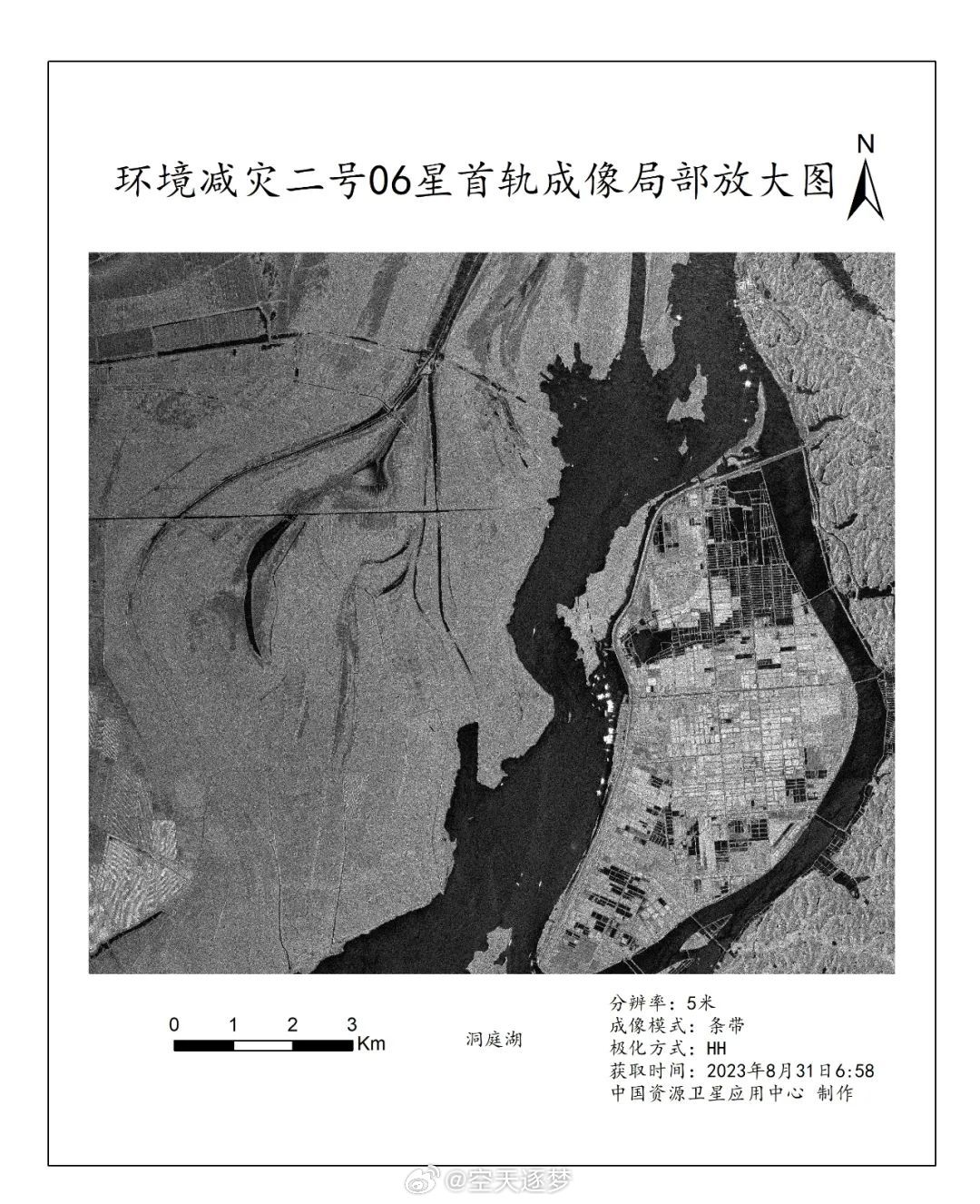
Imagens de radar transmitidas pelo satélite

https://spacenews.com/south-africa-join ... e-project/
South Africa joins China’s moon base project
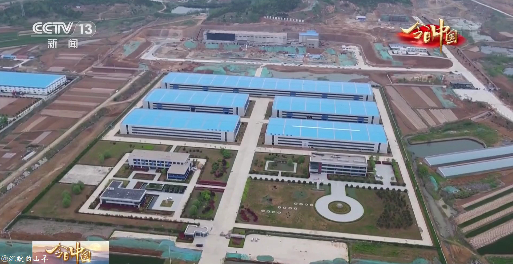
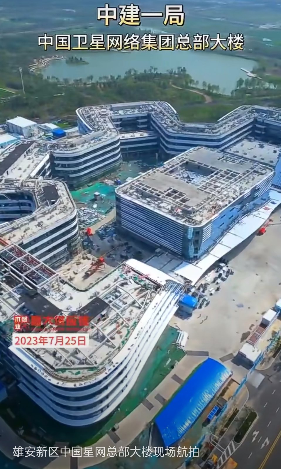
A China Satellite Network Corporation está construindo uma nova sede em Xiong'an.

https://www.ecns.cn/news/sci-tech/2023- ... 0965.shtml
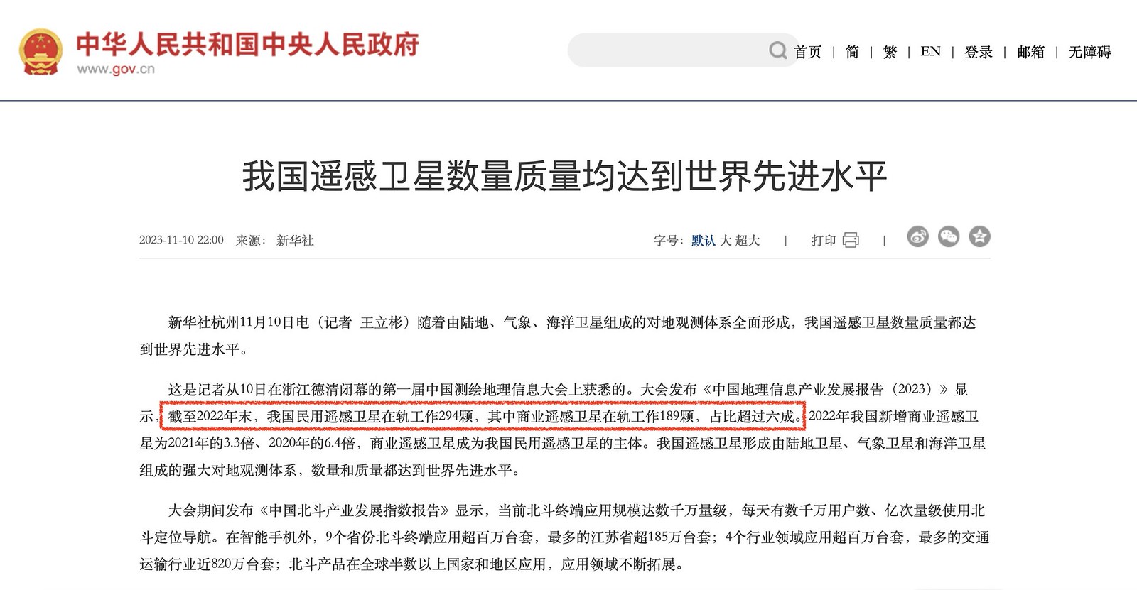
https://spacenews.com/china-to-expand-i ... -underway/China shares over 1.5 terabytes of remote sensing satellite data with BRICS countries: CNSA
China has shared over 1.5 terabytes of remote sensing satellite data with BRICS countries, and will continue to promote the application of remote sensing satellite data to all walks of life in BRICS members’ societies, the China National Space Administration (CNSA) said recently.
According to CNSA, the establishment of BRICS Global Remote Sensing Satellite Data and Application Cooperation Platform, a cooperation mechanism in joint observation and data sharing of the remote sensing satellites among the five major emerging economies -- Brazil, Russia, India, China and South Africa, will achieve rapid collection, efficient sharing and joint application of satellite data among BRICS countries, promote the remote sensing satellite services of BRICS to benefit the world, enable sustainable economic and social development in the region and help meet the common challenges facing the world.
Remote sensing satellite technology, with advantages including its high-resolution, full-range and global observation capabilities, has increasingly become one of the key measures to cope with global challenges in the 21st century, such as crops and food crisis, and water resource shortage as well as global climate change, the CNSA explained.
On August 18, 2021, heads of the BRICS space agencies signed an agreement on cooperation on BRICS Remote Sensing Satellite Constellation, with China-made satellites including China’s Gaofen-6 and Ziyuan-3 02 joining the cooperation. Ground stations in Sanya of South China’s Hainan Province are also supporting the program.
On May 25, 2022, during the first meeting of the joint commission on space cooperation of the BRICS countries hosted by the CNSA, as China was the chair of the BRICS in 2022, the joint committee resolution supported joint observation by BRICS countries in designated specific areas identified and carry out cooperation in the field of remote sensing satellites in the form of remote sensing data exchange.
According to an official from CNSA, China has carried out a series of practical work in accordance with the agreement for cooperation in remote sensing satellite data sharing. Since the signing of the agreement, CNSA has successively launched China’s website for the BRICS remote sensing satellite constellation, providing metadata and sample data from Chinese remote sensing satellites, to promote data sharing among BRICS nations and ensure the smooth operation of data exchange mechanism.
Moreover, CNSA also proposed the pilot and demonstration projects for the BRICS remote sensing satellite constellation to promote joint observation and speed up data sharing and application, set up the Chinese data and application center specialized in the construction coordination, date receiving, processing and delivering and application for the BRICS remote sensing satellite constellation.
In the future, based on the Chinese data and application center, China will further deepen and expand existing cooperation mechanism, and step up the construction of the cooperation platform, allowing the Chinese remote sensing satellite data to serve more countries and to contribute to the achievement of the United Nations 2030 Sustainable Development Goals, to promote building a community of a shared future for mankind, according to CNSA.
Apart from cooperation with the BRICS members, China also collaborates with other countries in other space projects, such as the International Lunar Research Station (ILRS) program. Before the Venezuelan President Nicolás Maduro Moros’s visit to China starting last Friday, Venezuela and China signed a declaration to formally join the ILRS program on July 18 to continue to deepen the strategic partnership with China.
China to expand its space station, international astronaut selection underway
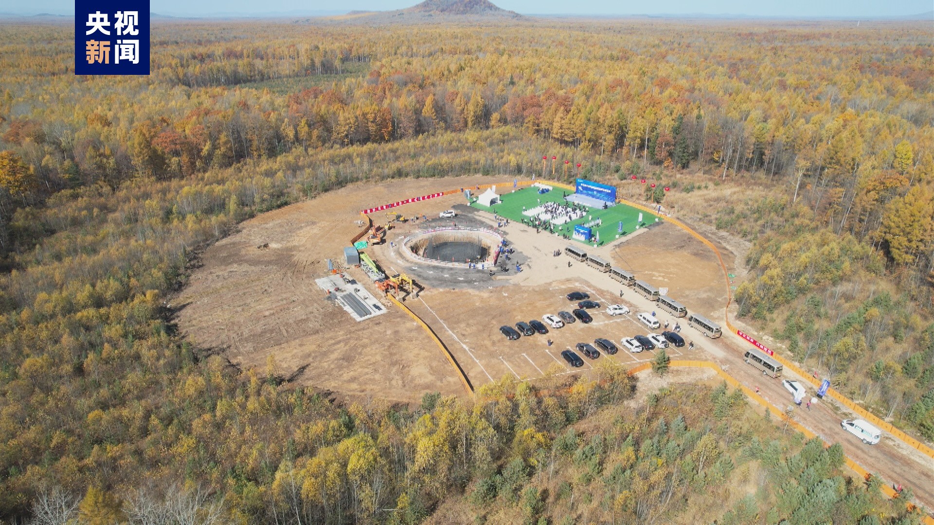
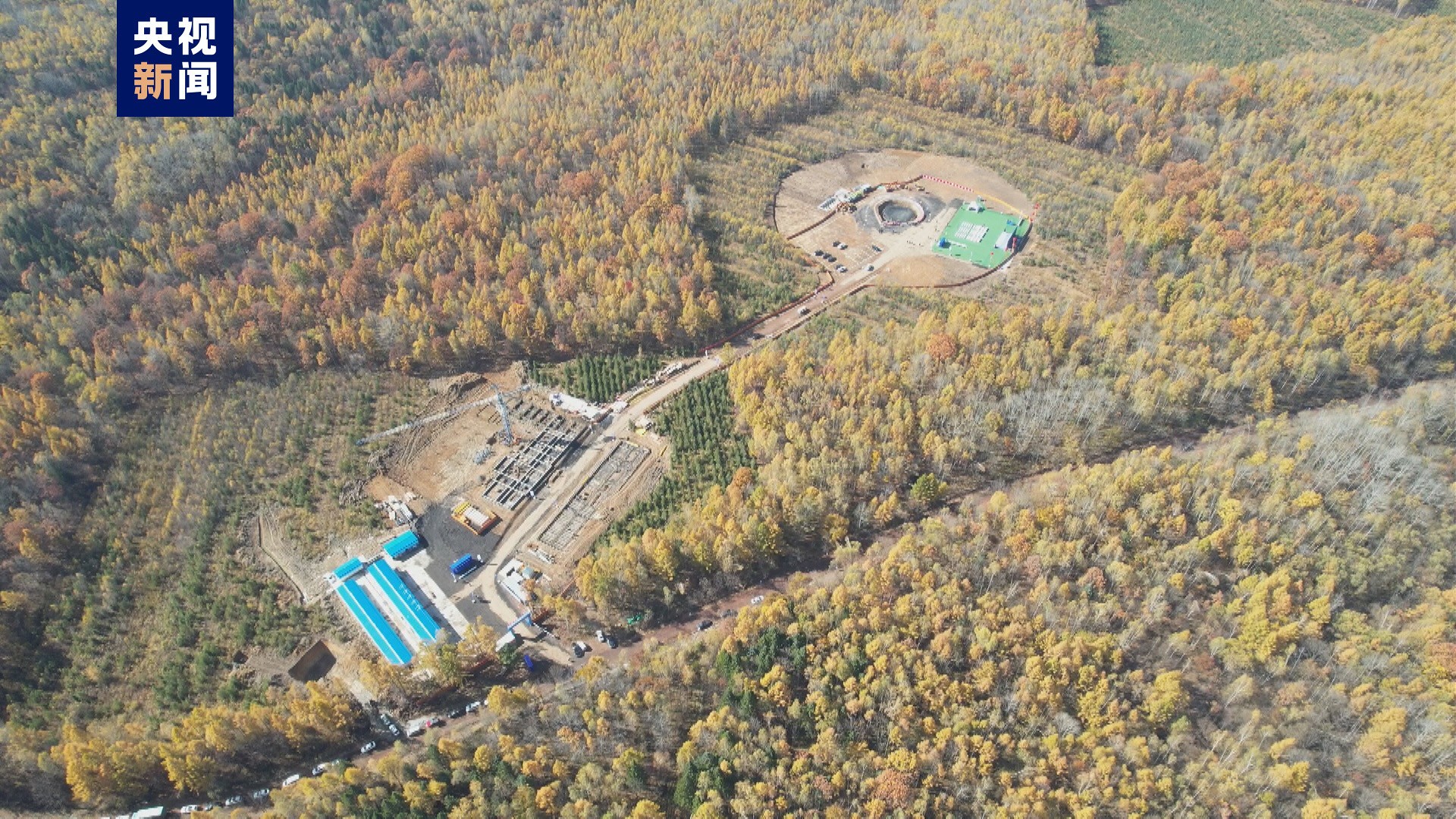
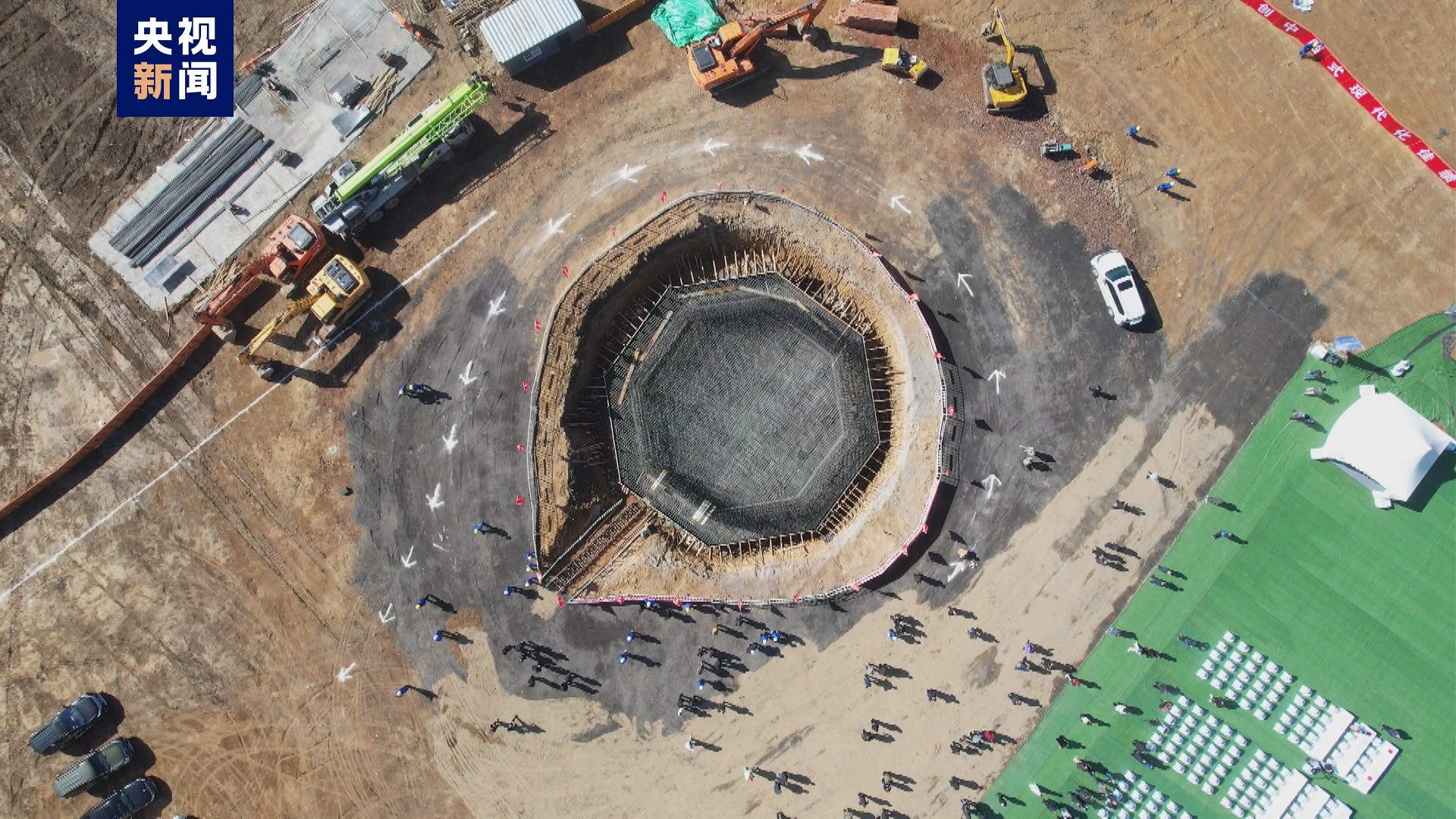
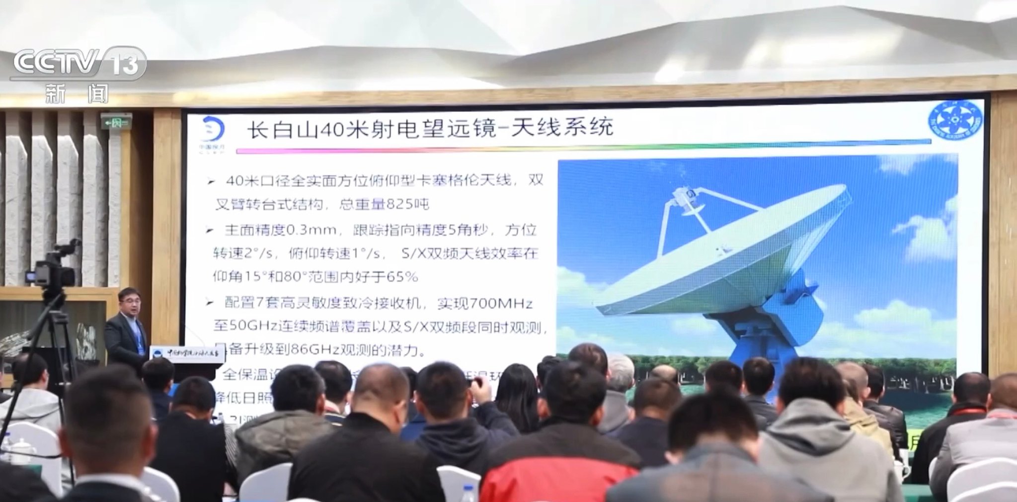
A China iniciou a construção de um radiotelescópio de 40 metros de diâmetro, que faz parte de uma nova instalação de rastreamento do espaço profundo localizada em Shigatse, no Tibete, e será usado em futuros programas de exploração lunar.


https://news.cgtn.com/news/2023-09-17/C ... index.html
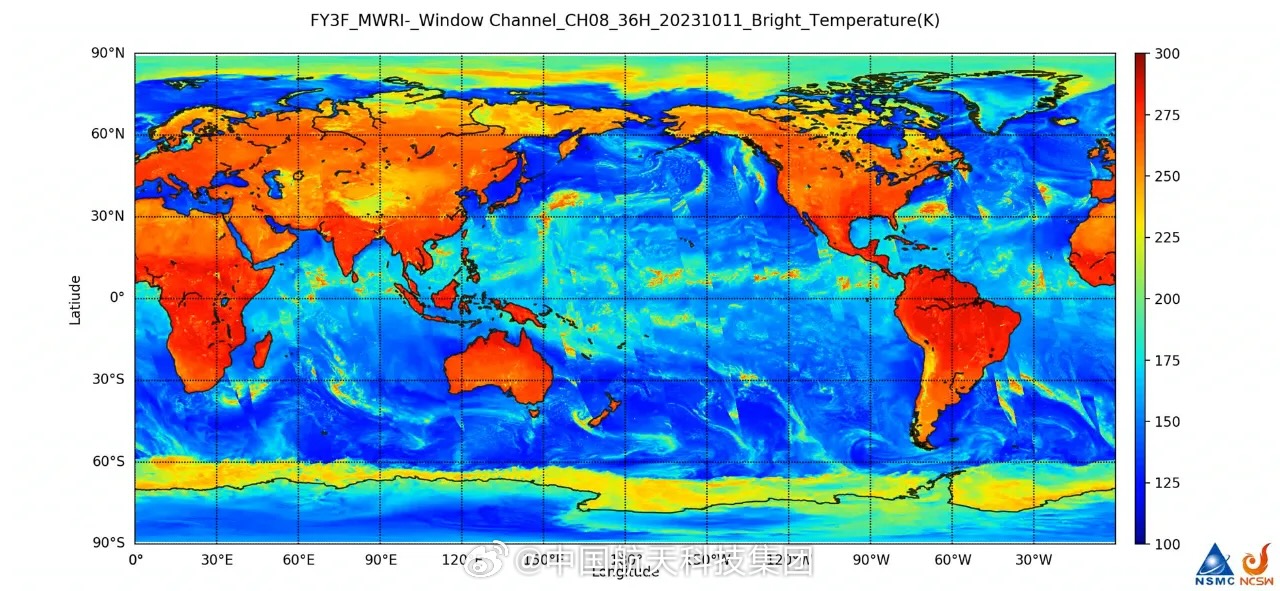
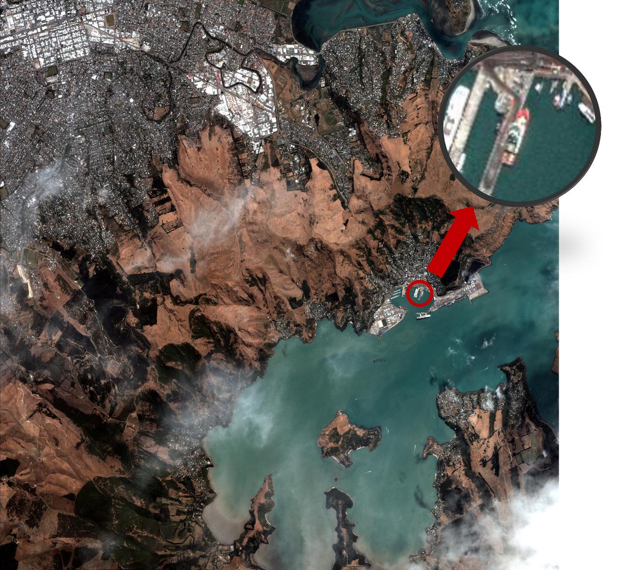
China launches new remote sensing satellite
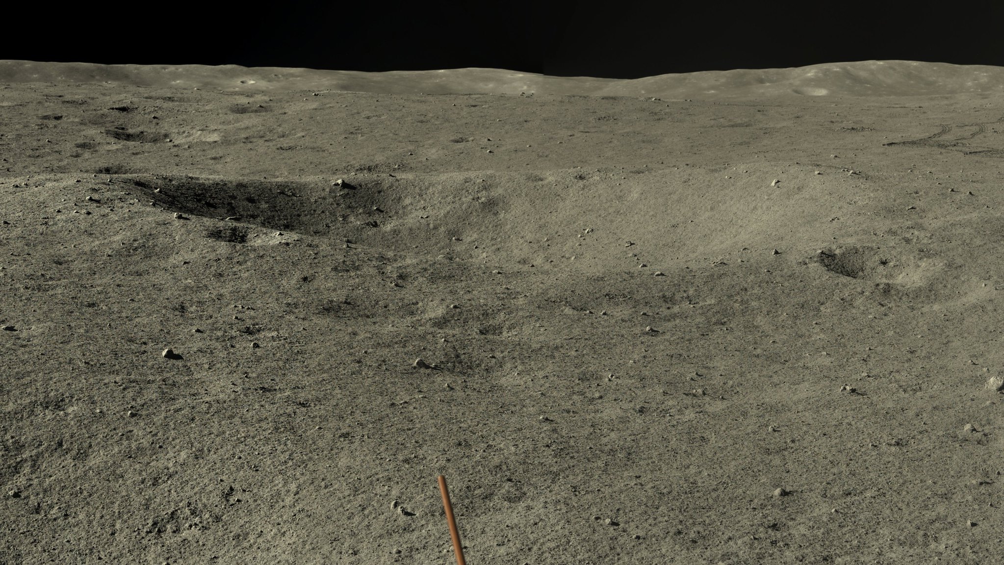
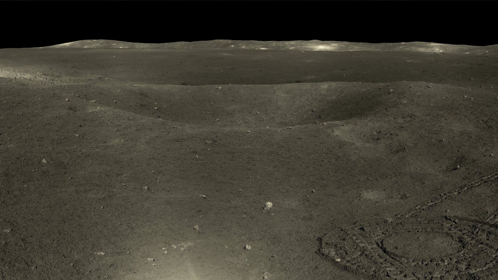
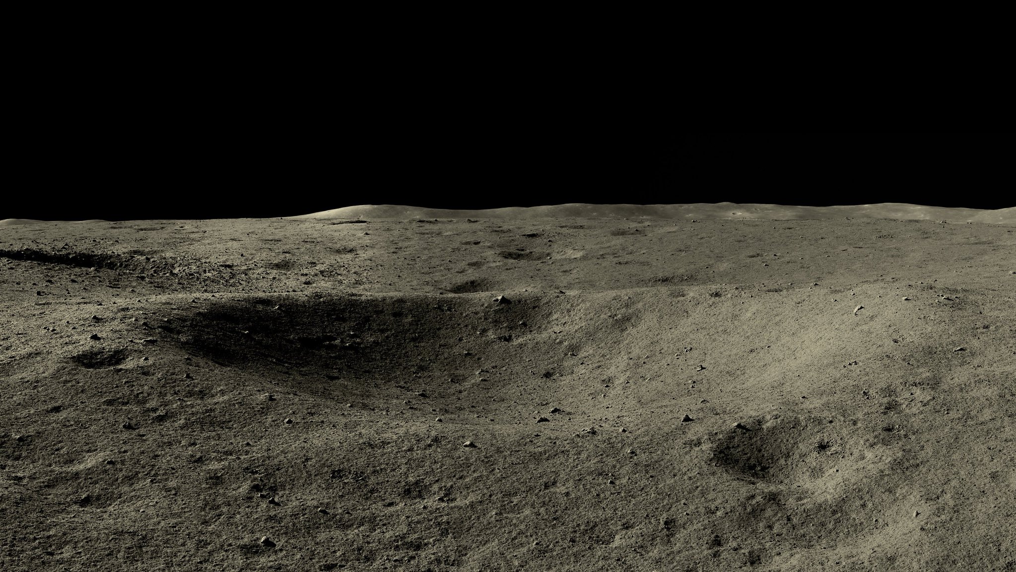
Imagens de alta resolução da Lua tiradas em maio e junho pelo rover Yutu-2
https://www.washingtonpost.com/world/20 ... pace-moon/
Maduro says Venezuela will send astronauts to moon in Chinese spaceship
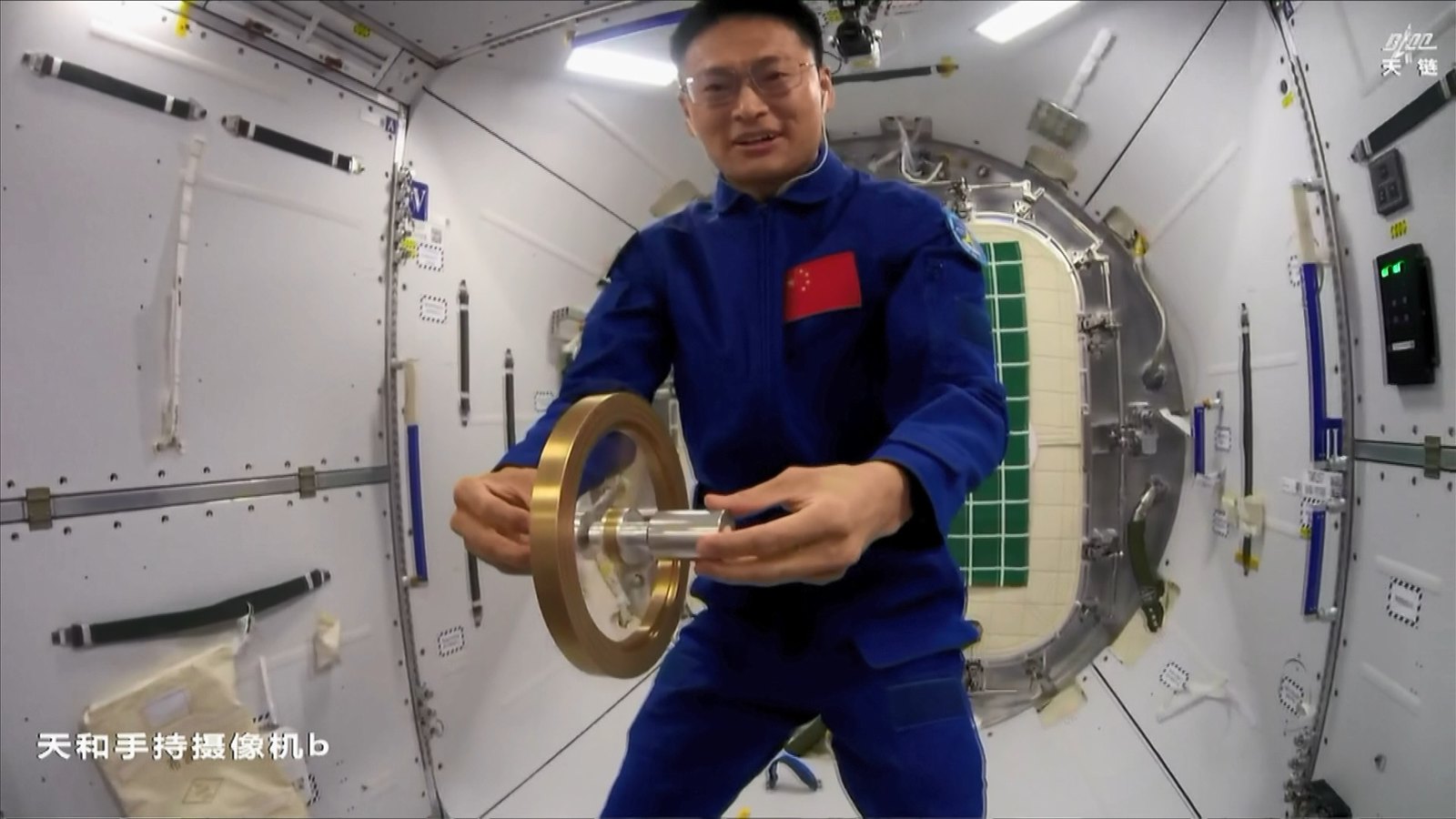
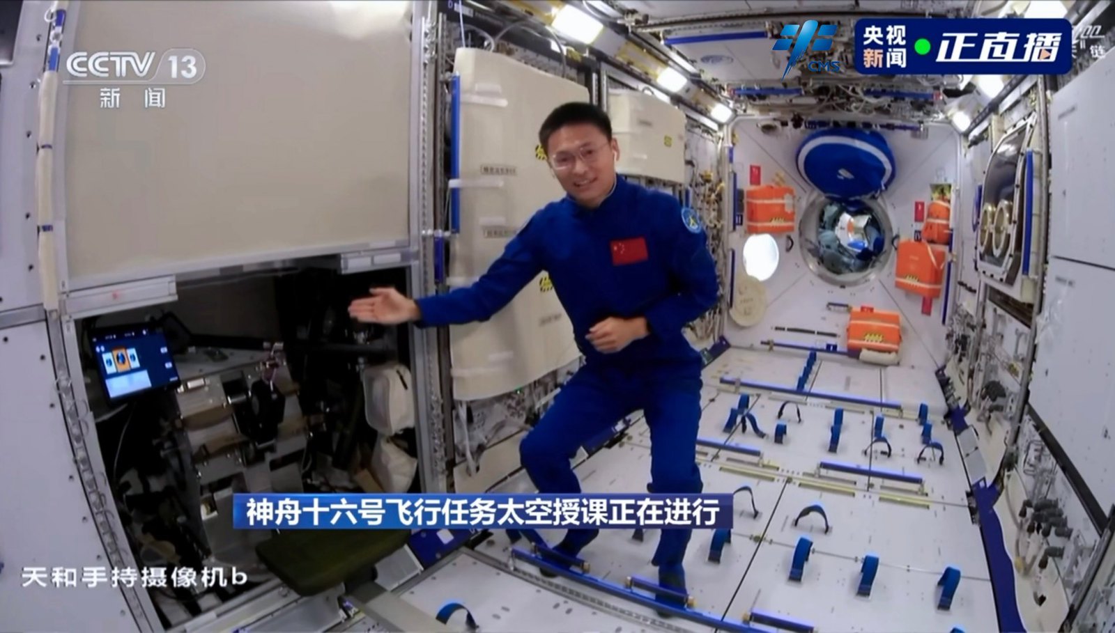
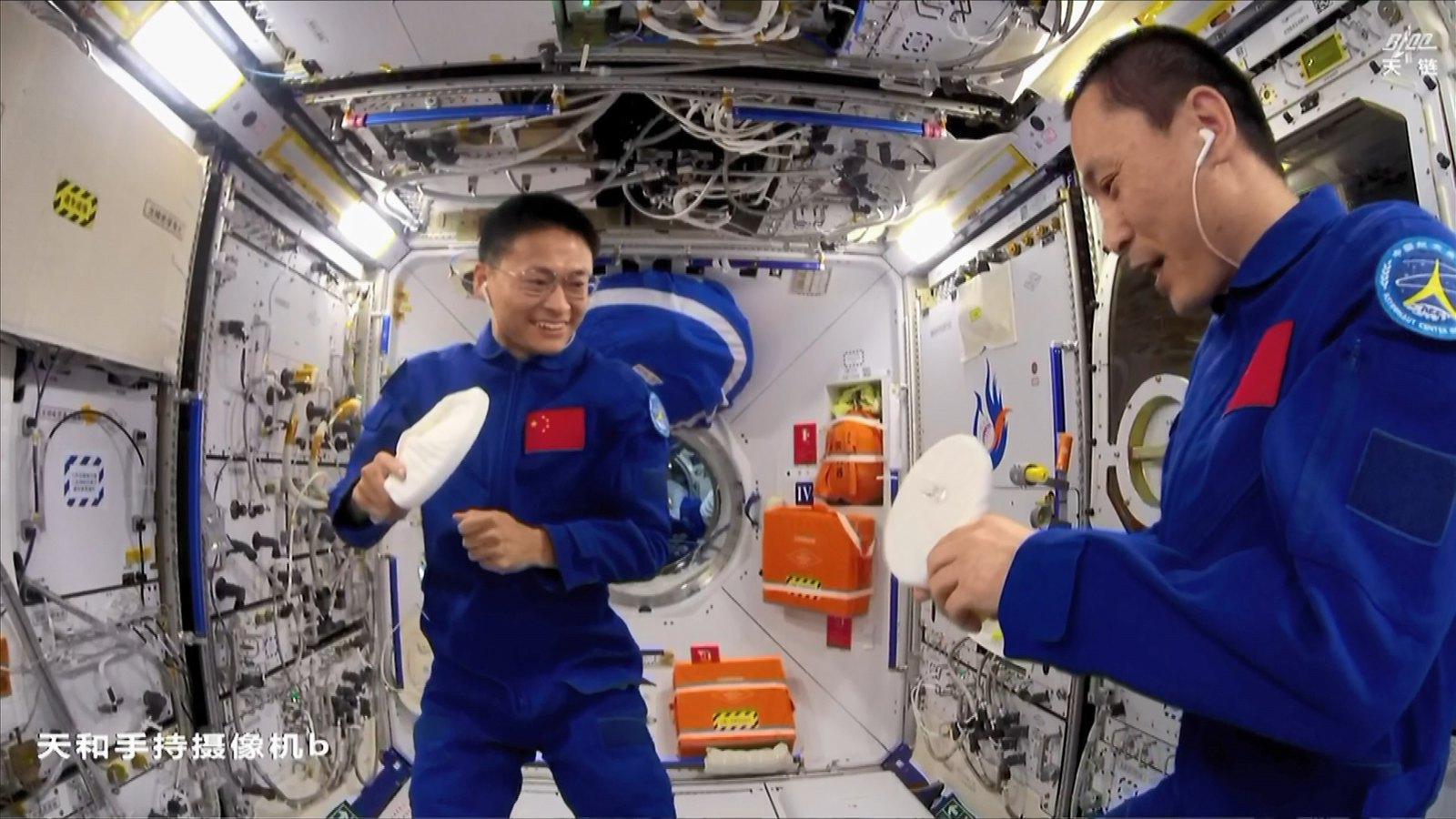
Palestra de ciências do espaço na CSS


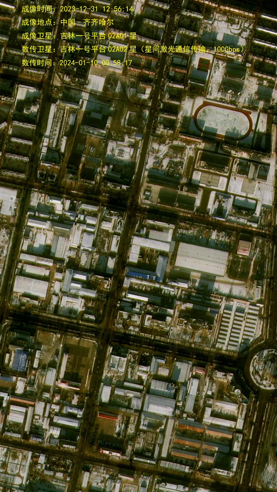
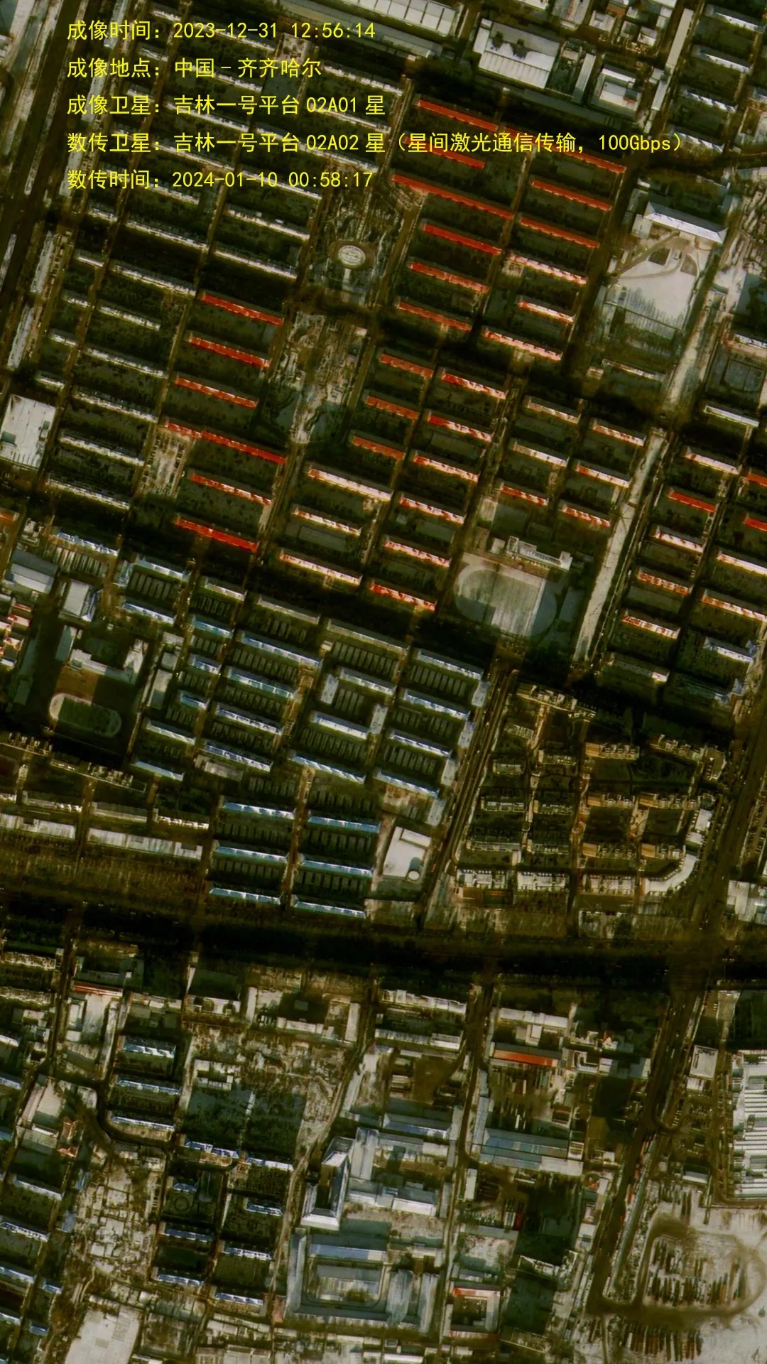
Imagens de Xangai capturadas por um satélite Jilin-1 Gaofen


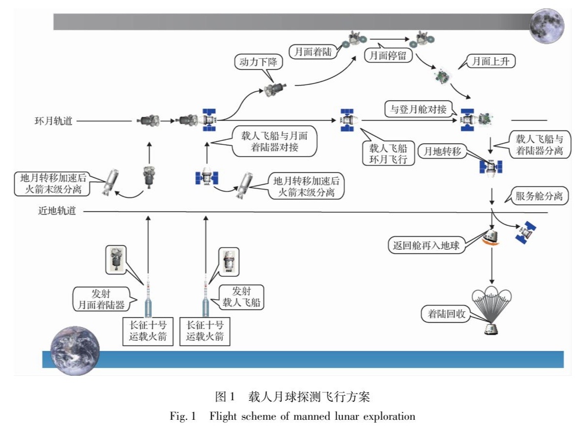
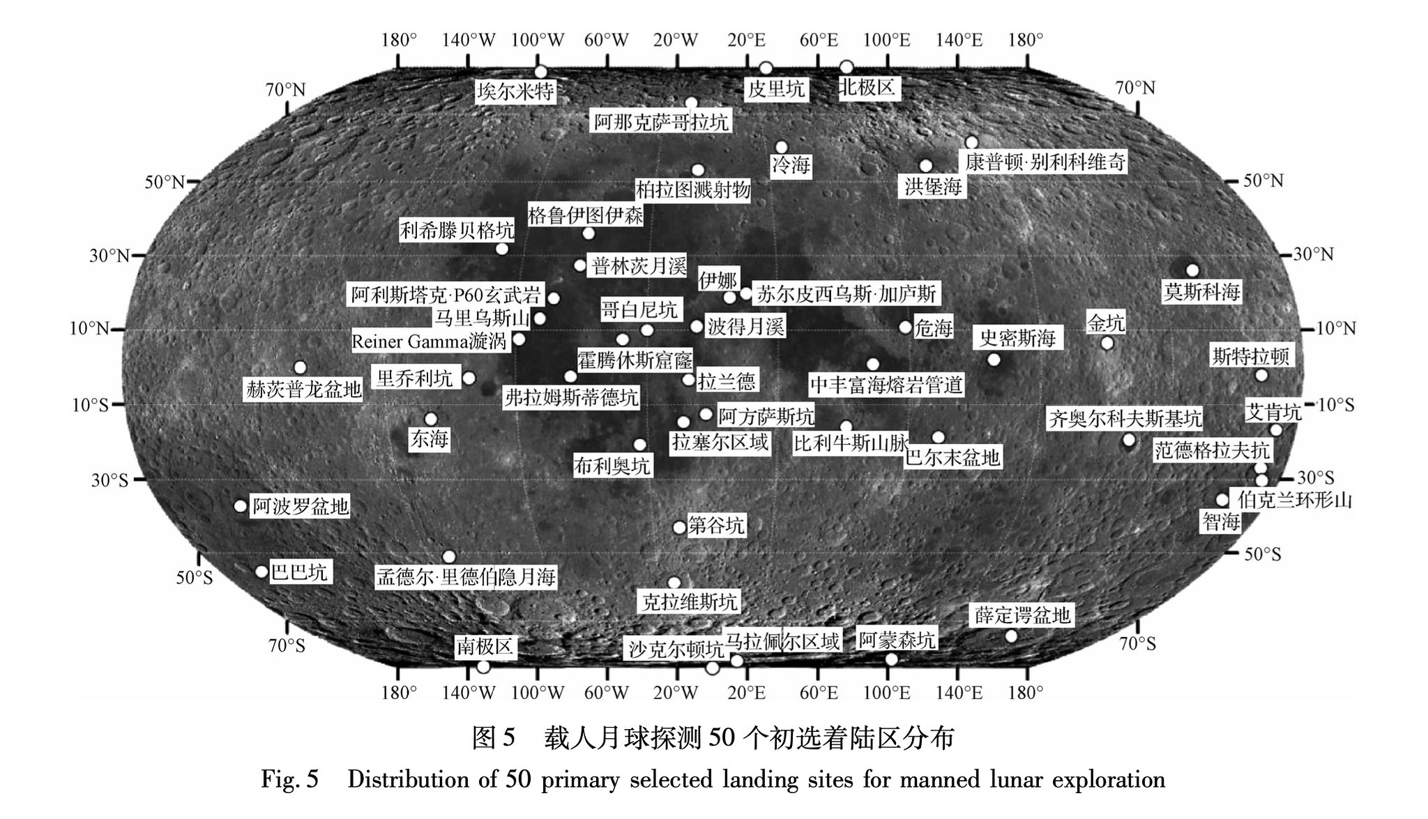
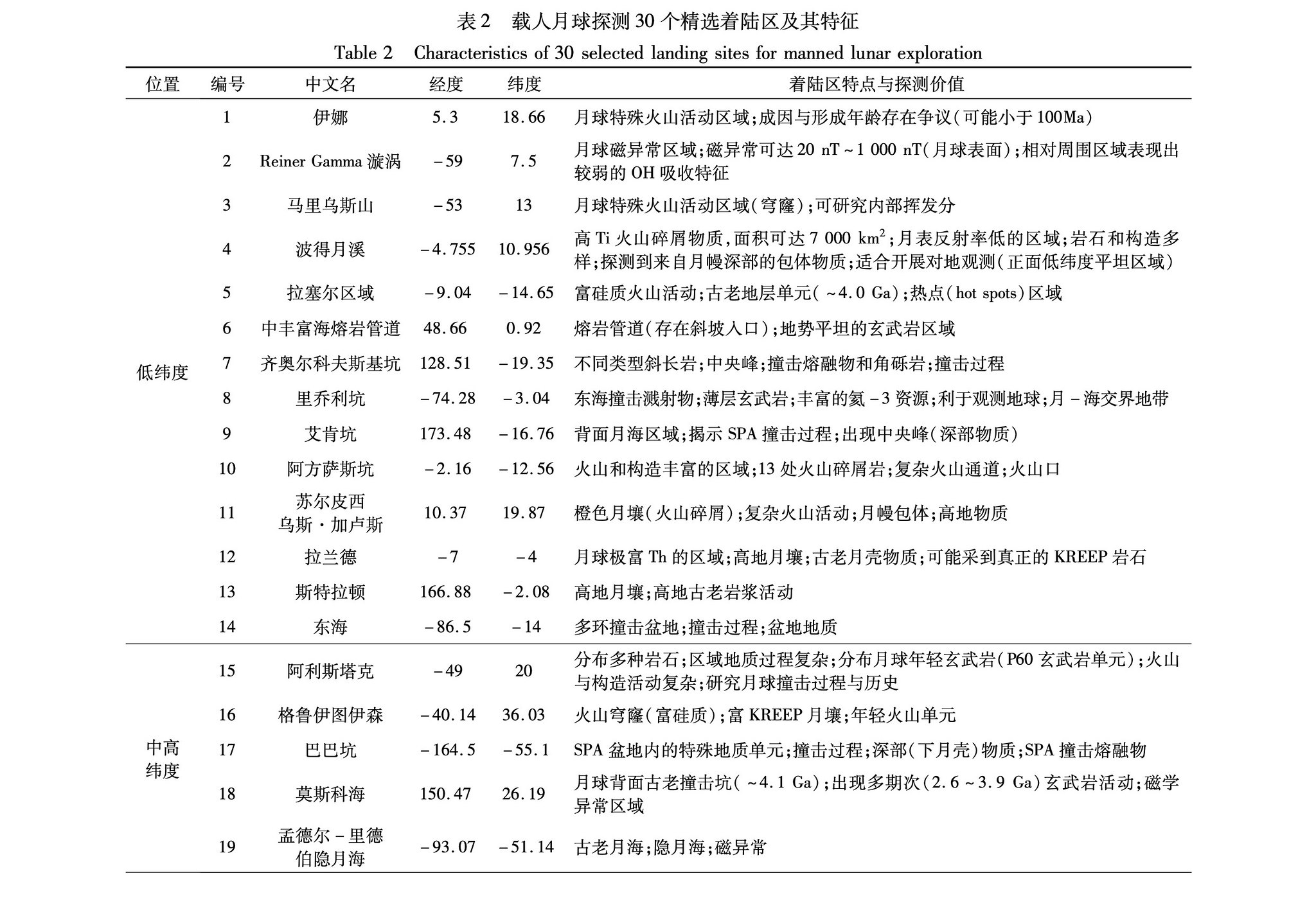
Locais de pouso candidatos para a missão lunar tripulada da China. Existem 50 deles.
https://www.yicaiglobal.com/news/chinas ... under-says
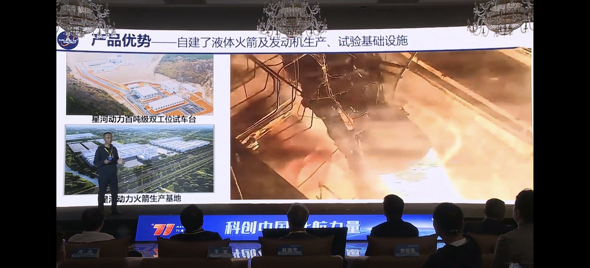
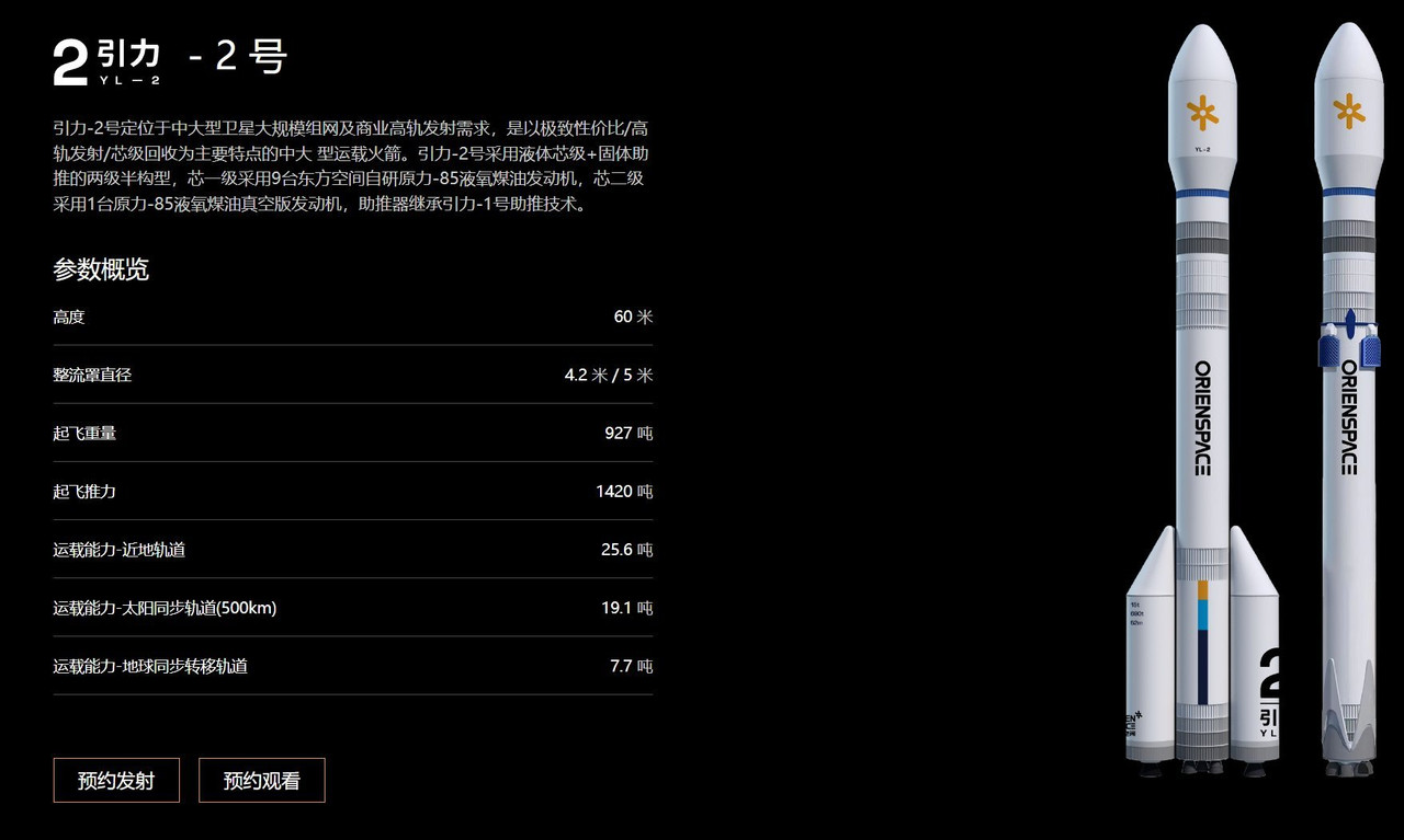
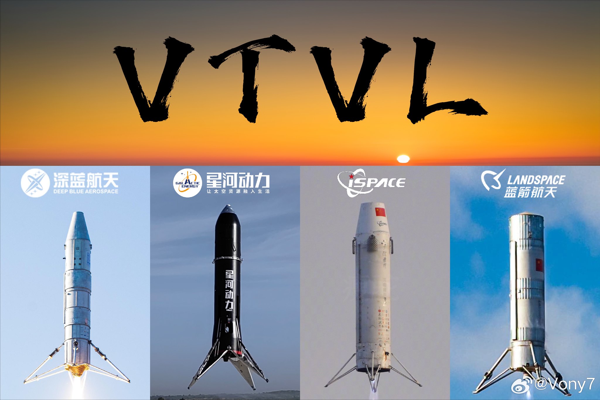
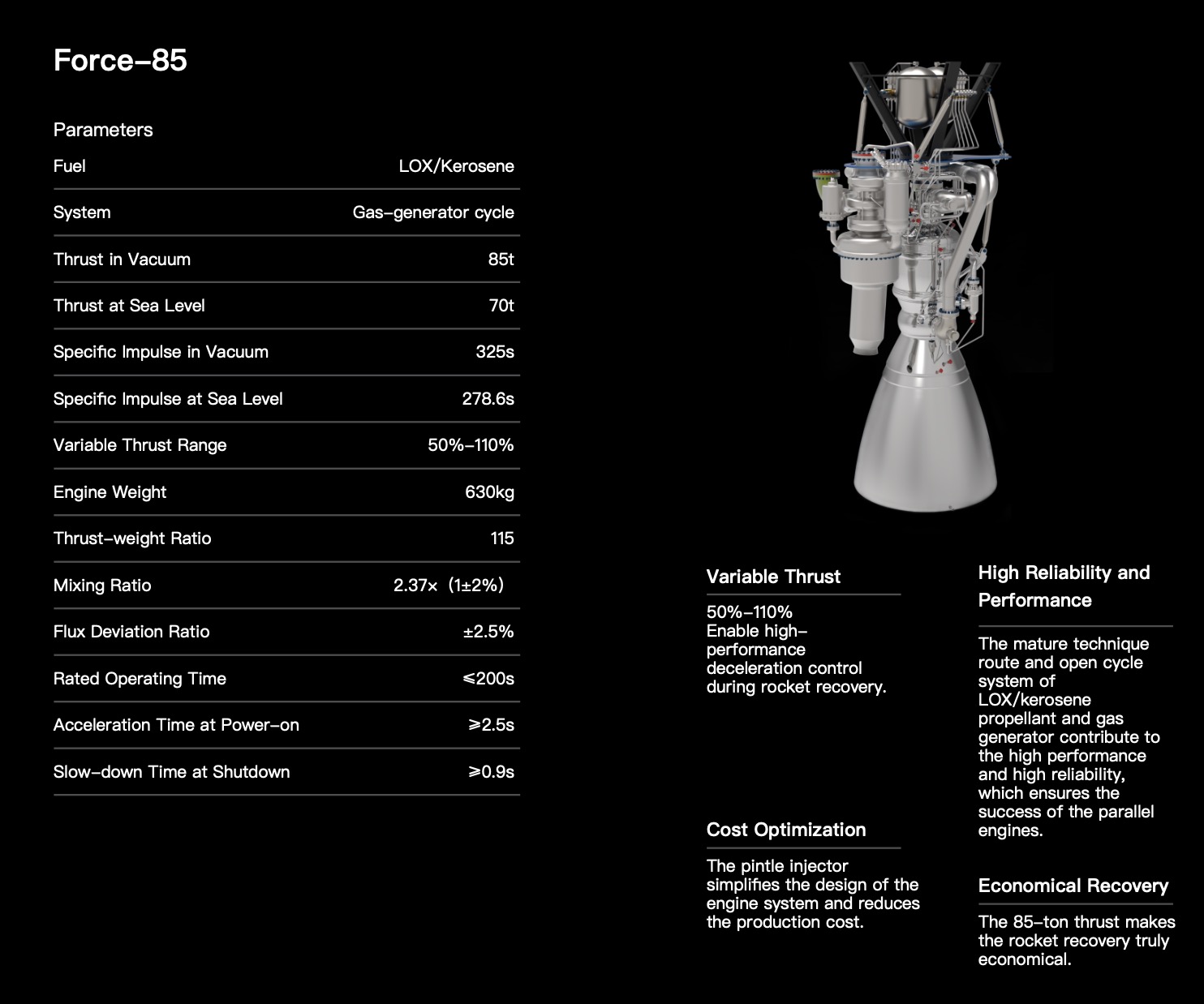
China's LandSpace to Test Flight Reusable Rocket in Second Half of 2025, Founder Says
https://www.recordedfuture.com/near-spa ... ntage?s=08
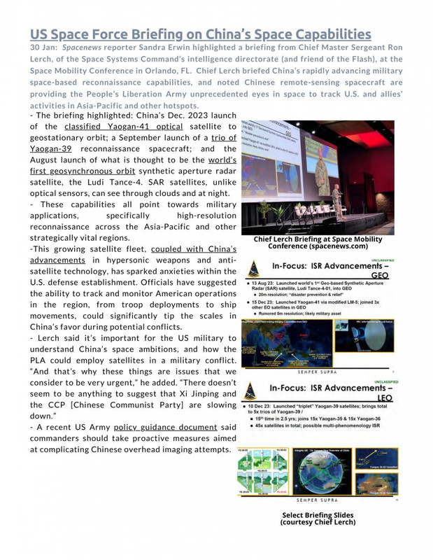
Near-Space in China’s Military Strategy: Strategic Reconnaissance, Precision Strike, and Battlefield Advantage
https://go.recordedfuture.com/hubfs/rep ... 3-0926.pdf
https://www.nature.com/articles/d41586-023-03013-6
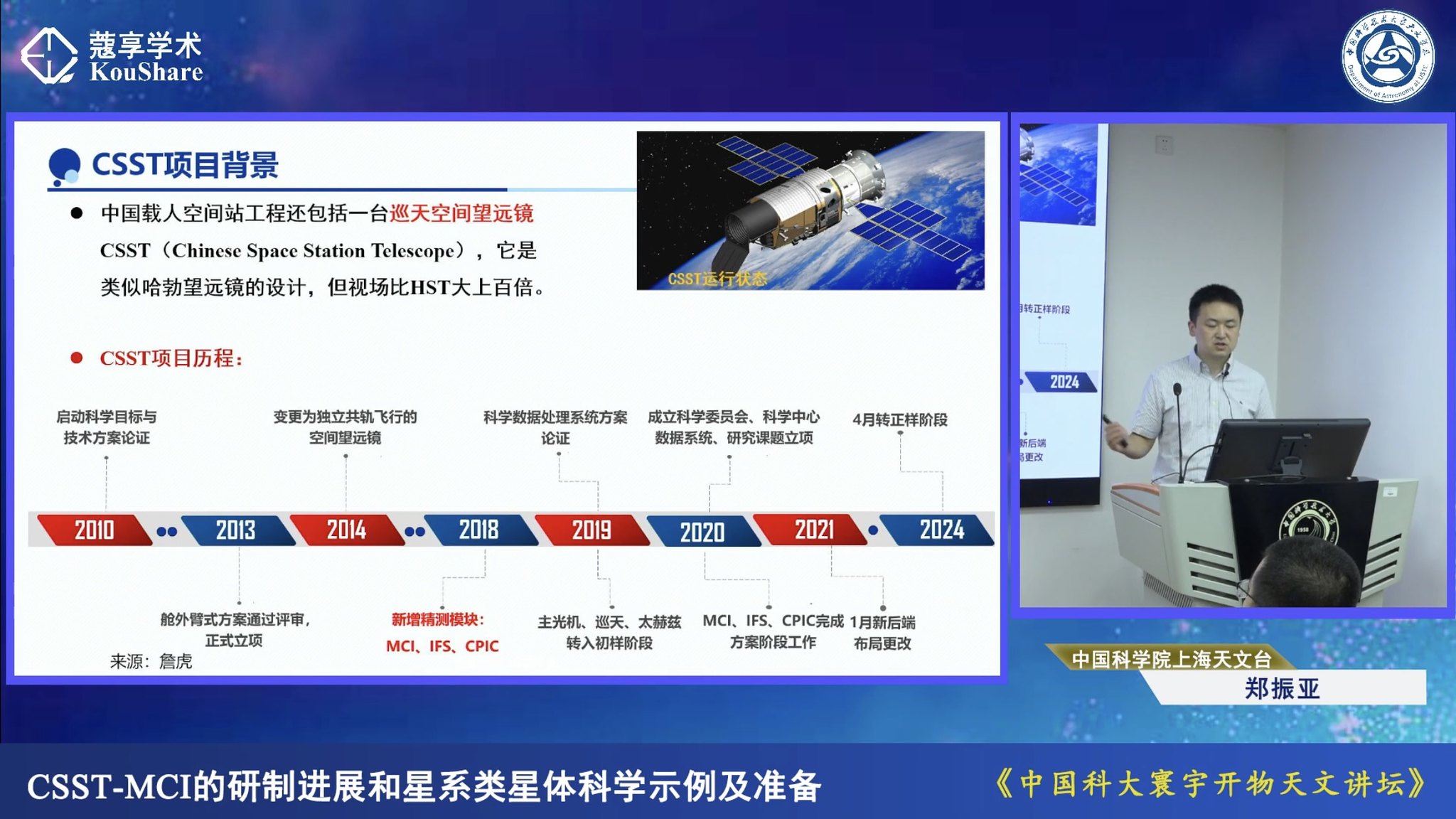
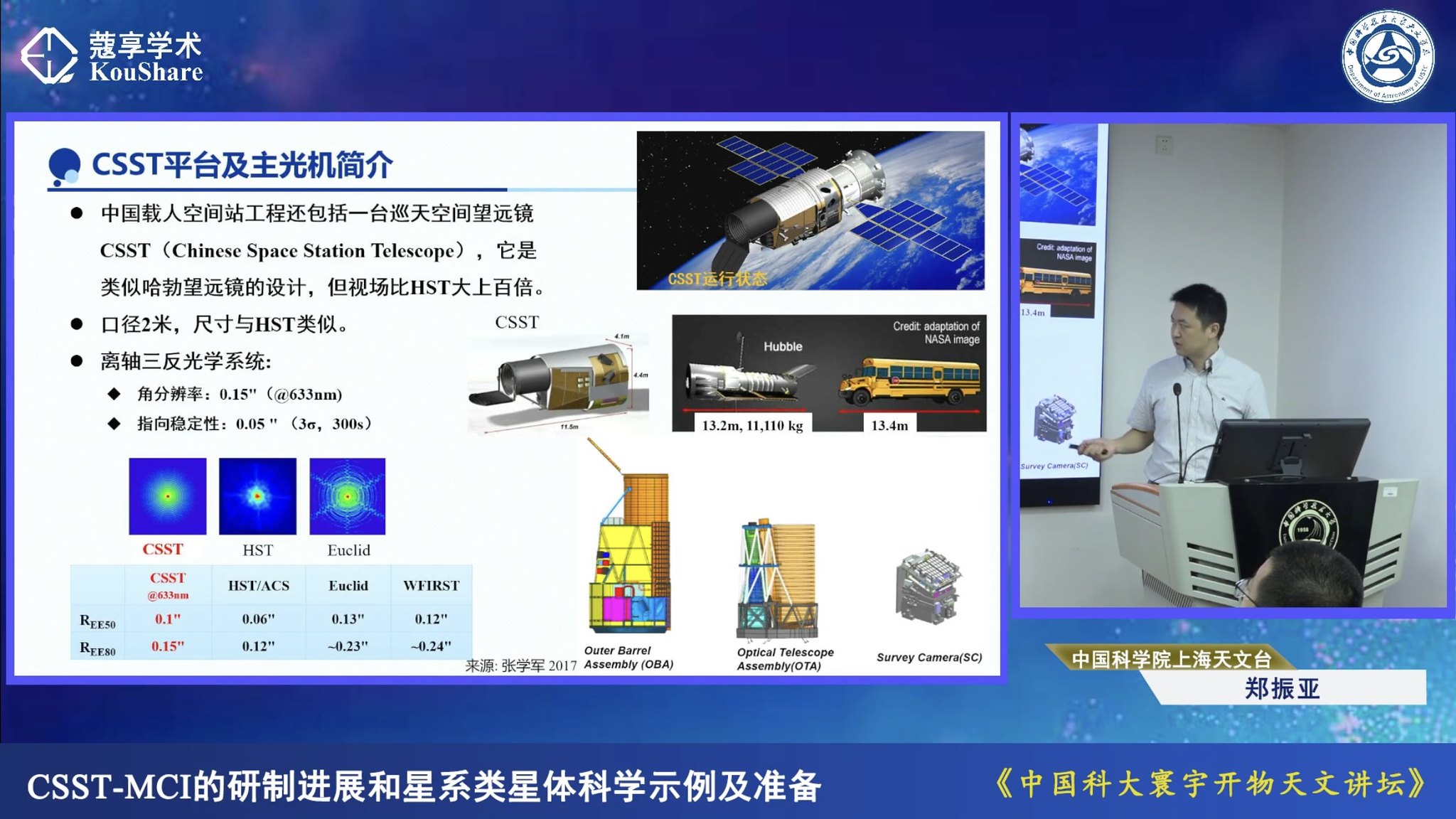
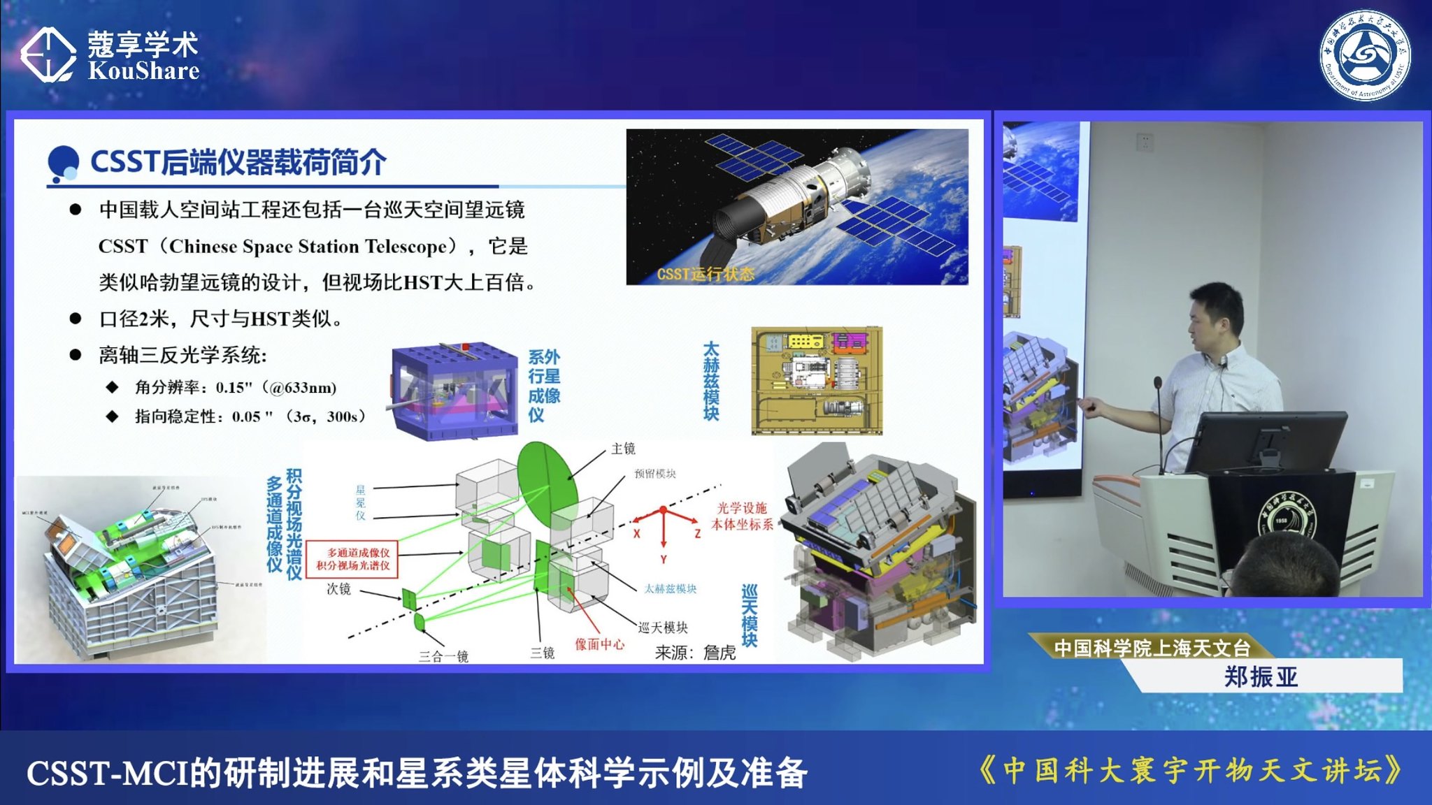
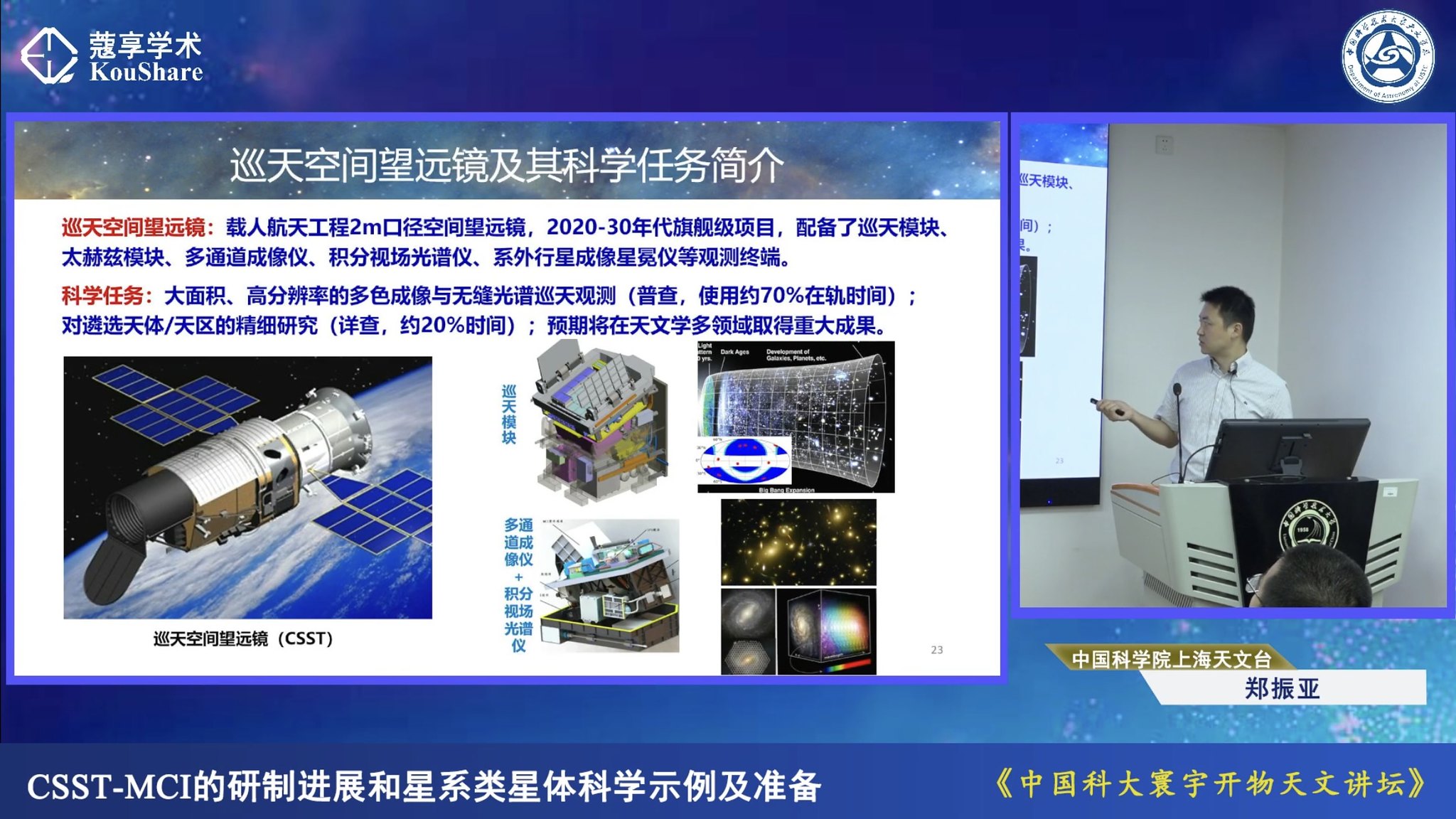
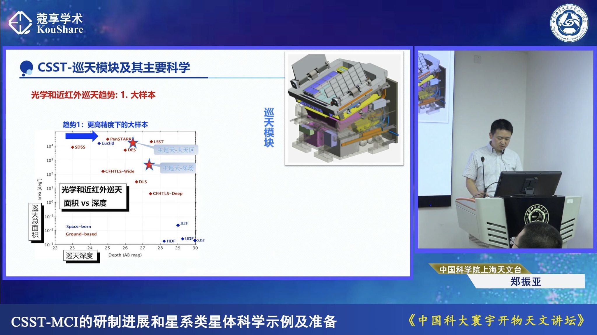
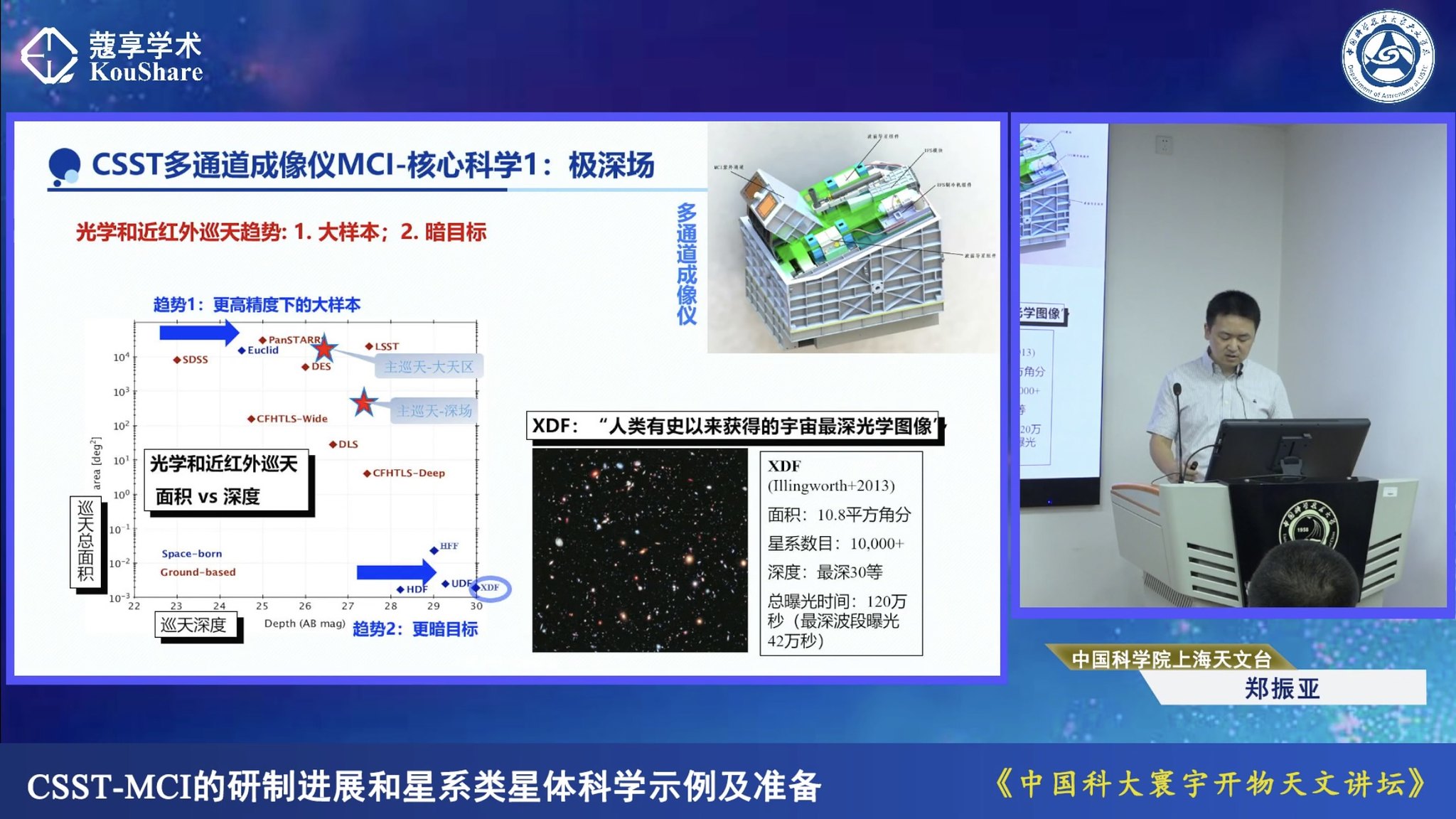
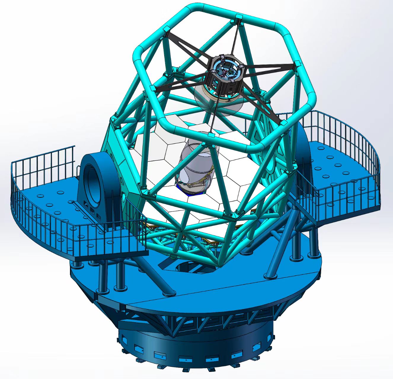
China’s powerful new telescope will search for exploding stars
Exoesqueleto motorizado desenvolvido pela CASIC especificamente para equipes de busca e recuperação de espaçonaves. Ele foi projetado para operar em ambientes agressivos e em terrenos difíceis. Possui dois módulos de assistência de energia, um para a parte superior e inferior do corpo. O controlador integrado monitora continuamente o movimento e a marcha do usuário e usa algoritmos sofisticados para ajustar a velocidade e a quantidade de potência em tempo real.
Breves especificações:
- Capacidade de carga: 50kg
- Reduz a carga do operador humano em 60%, equivalente a 30% do consumo de energia do corpo humano (?).
- Temperatura operacional: -40 a +70°C
- Umidade operacional: até 98%
- Pode monitorar o movimento do corpo do usuário com precisão >99,9%
- Capaz de operar continuamente por quatro horas quando fornecido com baterias sobressalentes
- Fornece uma ampla gama de movimento.
- Leve, modular e de fácil manutenção.


